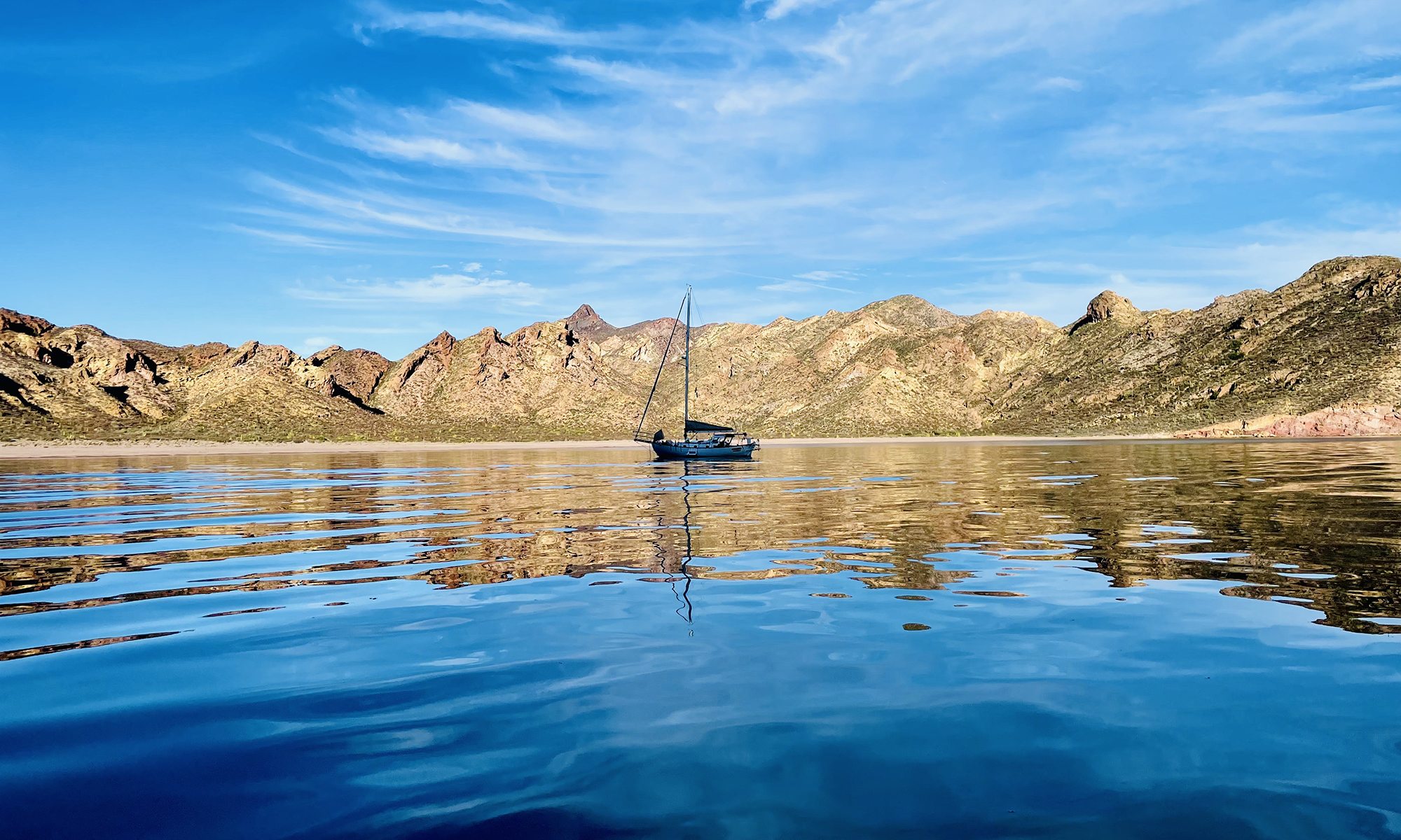
Current Position: 17 33.957’S 149 37.068’W; Local Timezone: UTC-10; HDG: N/A; COG: N/A; SOG: N/A; Distance to Waypoint (Tahiti, Carrefour Bay): At Anchor; Total Miles Sailed: 4229 nm;
Comments: I have spent most of the day doing paperwork and doing chores. Most importantly, I have decided to head to Tonga next. I will be skipping the Cook Islands and Samoa because they require sailing to 13S. I have decided to stay at 16S until it is time to head for Thursday Island. After Tonga, I will visit Fiji and Vanuatu. Tomorrow (Friday) I will spend on the engine. I will check the fuel and filters, design the system that allows me to switch tanks, and go to the hardware store to try to get the parts. Most of Saturday will be spent at a festival. The other major projects I have include removing the mainsail and sewing it, work on the wind vane, repair the wind instruments, and provisioning (fuel, water, and food). I have about one week to do these things. The wind is blowing from the S today and the waves are coming from the SW, making for a rolling time at anchor. There will be a good chance of rain the middle of the week, so I need to get the sail done before then. I will need to clear out the salon area and set the sewing machine up on the table. If I can make good progress on the engine tomorrow, I will work on the sail Sunday. I will get water and fuel this week, but I won’t get food until I know the engine, sail, and wind instruments are ready. I may not get the wind instruments until next Thursday, so A week from tomorrow will be the earliest for the food.
Comments: I have spent most of the day doing paperwork and doing chores. Most importantly, I have decided to head to Tonga next. I will be skipping the Cook Islands and Samoa because they require sailing to 13S. I have decided to stay at 16S until it is time to head for Thursday Island. After Tonga, I will visit Fiji and Vanuatu. Tomorrow (Friday) I will spend on the engine. I will check the fuel and filters, design the system that allows me to switch tanks, and go to the hardware store to try to get the parts. Most of Saturday will be spent at a festival. The other major projects I have include removing the mainsail and sewing it, work on the wind vane, repair the wind instruments, and provisioning (fuel, water, and food). I have about one week to do these things. The wind is blowing from the S today and the waves are coming from the SW, making for a rolling time at anchor. There will be a good chance of rain the middle of the week, so I need to get the sail done before then. I will need to clear out the salon area and set the sewing machine up on the table. If I can make good progress on the engine tomorrow, I will work on the sail Sunday. I will get water and fuel this week, but I won’t get food until I know the engine, sail, and wind instruments are ready. I may not get the wind instruments until next Thursday, so A week from tomorrow will be the earliest for the food.


