Note there are hot links to pages that have additional information about each location. Countries are links to clearance formalities. Locations are links to local information. This page is routinely updated (i.e., some details still need to be researched).
March 13 to July 2025 (7,046 NM, 50 NM/Day)
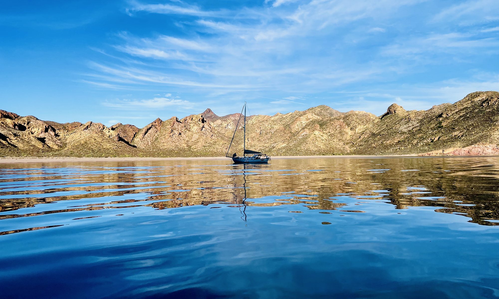
- Mexico [San Carlos] (27.949099 N, 111.055292 W) to Mexico [Los Frailes] (23.3745° N, 109.4245° W), 288 NM
- Mexico [Los Frailes] (23.3745° N, 109.4245° W) to Mexico [Revillagigedo Archipelago, San Benedicto Island] (18.793025 N, 110.977163 W), 288 NM
- Mexico [Revillagigedo Archipelago, San Benedicto Island] (18.793025 N, 110.977163 W) to French Polynesia [Marquesas Islands/Hiva Oa] (9.8078° S, 139.03333° W), 1715 NM
- French Polynesia [Marquesas Islands/Hiva Oa] (9.8078° S, 139.03333° W) to French Polynesia [Tahiti/Pepeete] (17.53500 S, 149.58666 W), 770 NM
- French Polynesia [Tahiti/Pepeete] (17.53500 S, 149.58666 W) to Tonga [Neiafu] 6(18.57333° S, 174.02500° W), 1397 NM
- Tonga [Neiafu] (18.57333° S, 174.02500° W) to Fiji [Savusavu] (16.77750° S, 179.32633° E), 395 NM
- Fiji [Savusavu] (16.77750° S, 179.32633° E) to Vanuatu [Espiritu Santo, Luganville] (15.88133° S, 167.16667° E), 702 NM
- Vanuatu [Espiritu Santo, Luganville] (15.88133° S, 167.16667° E), to Australia [Thursday Island] (10.57500° S, 142.20833° E), 1491 NM
August 2025 (2,160 NM, 72 NM/Day)
- Australia [Thursday Island] (10.57500° S, 142.20833° E) to Australia [Darwin] (12.41550° S, 130.79083° E), 680 NM
- Australia [Darwin] (12.41550° S, 130.79083° E) to Christmas Island [Flying Fish Cove] (10.63467° S, 105.66800° E), 1480 NM
September-November 2025 (5,156 NM, 57 NM/Day)
- Christmas Island [Flying Fish Cove] (10.63467° S, 105.66800° E) to Cocos (Keeling) [Direction Island] (12.09111° S, 96.88361° E), 524 NM
- Cocos (Keeling) [Direction Island] (12.09111° S, 96.88361° E) to Mauritius [Port Louis] (20.14694° S, 57.48167° E), 2320 NM
- Mauritius [Port Louis] (20.14694° S, 57.48167° E) to Reunion [Pointe des Galets] (20.93611° S, 55.27833° E), 133 NM
- Reunion [Pointe des Galets] (20.93611° S, 55.27833° E) to Madagascar [Fort Dauphin, Taolagnaro] (25.02667o S, 46.99767o E), 519 NM
- Madagascar [Fort Dauphin, Taolagnaro] (25.02667o S, 46.99767o E) to South Africa [Richards Bay] (28.81050° S, 32.10133o E), 828 NM
- South Africa [Richards Bay] (28.81050° S, 32.10133o E) to South Africa [Cape Town] (33.89722° S, 18.44194° E), 832 NM
- Richards Bay (28.81050° S, 32.10133o E) to Durban (29.86333° S, 31.06056° E), 83 NM,
- Durban (29.86333° S, 31.06056° E) to East London (33,02416° S, 27.92606° E), 248 NM
- East London (33.02416° S, 27.92606° E) to Port Elizabeth (33.95111° S, 25.64028° E), 127 NM
- Port Elizabeth (33.95111° S, 25.64028° E) to Knysna (34.08750° S, 23.058611° E), 129 NM
- Knysna (34.08750° S, 23.058611° E) to Mossel Bay (34.17333° S, 22.14528° E), 46 NM
- Mossel Bay (34.17333° S, 22.14528° E) to Hout Bay (34.05083° S, 18.35028° E), 189 NM
- Hout Bay (34.05083° S, 18.35028° E) to Cape Town (33.89722° S, 18.44194° E), 10 NM
December 2025 – January 2026 (3,639 NM, 60 NM/Day)
- South Africa [Cape Town] (33.89722° S, 18.44194° E) to Tristan da Cunha [Edinburgh of the Seven Seas] (37.05222° S, 12.31217° W), 1508 NM
- Tristan da Cunha [Edinburgh of the Seven Seas] (37.05222° S, 12.31217° W) to Argentina [Mar del Plata] (38.03333o S, 57.533333o W), 2131 NM
February 2026 (1304 NM, 46 NM/Day)
- Argentina [Mar del Plata] (38.03333o S, 57.533333o W) to Argentina [Puerto Madryn] (42.75000° S, 65.016667° W), 444 NM
- Argentina [Puerto Madryn] (42.75000° S, 65.016667° W) to Argentina [Puerto Deseado] (47.75667° S, 65.85667° W), 302 NM
- Argentina [Puerto Deseado] (47.75667° S, 65.85667° W) to Argentina [Isla de los Estados (Staten Island), Puerto Hoppner] (54.76408° S, 64.41583° W), 424 NM
- Argentina [Isla de los Estados (Staten Island), Puerto Hoppner] (54.76408° S, 64.41583° W) to Argentina [Ushuaia] (54.80510° S, 68.29972° W), 134 NM
- Argentina [Ushuaia] (54.80510° S, 68.29972° W) to Chile [Puerto Williams] (54.93355° S, 67.60963° W), 25 NM
March 2026 (? NM, ?NM/Day)
Fjords and channels of Chile: Puerto Williams – Canal Beagle – Brazo noroeste del Canal Beagle – Paso Timbales – Canal O’Brien – Canal Ballenero – Paso Norte – Paso Occidental – Canal Unión – Canal Ocasión – Canal Cockburn – Canal Magdalena – Western half of Estrecho de Magallanes (Strait of Magellan)
- Chile [Puerto Williams] (54.93355° S, 67.60963° W) to Chile [Caleta Olla] (54.94368° S, 69.14599° W), 53 NM
- Chile [Caleta Olla] (54.94368° S, 69.14599° W) to Chile [Seno Pia] (?° S, ?° W), ? NM
- Chile [Seno Pia] (?° S, ?° W) to Chile [Caleta Aklush] (?° S, ?° W), ? NM
- Chile [Caleta Aklush] (?° S, ?° W) to Chile [Caleta Silvia] (52.96555° S, 73.50694° W), ? NM
- Chile [Caleta Silvia] (52.96555° S, 73.50694° W) to Chile [Caleta Brecknock] (54.54583° S, 71.90805° W), 110 NM
- Chile [Caleta Brecknock] (54.54583° S, 71.90805° W) to Chile [Caleta Tarmac II (North)] (?° S, ?° W), ? NM
- Chile [Caleta Tarmac II (North)] (?° S, ?° W) to Chile [Puerto Nutland] (53.91281° S, 72.33775° W), ? NM
- Chile [Puerto Nutland] (53.91281° S, 72.33775° W) to Chile [Bahia Mussel 1] (?° S, ?° W), ? NM
- Chile [Bahia Mussel 1] (?° S, ?° W) to Chile [Bahia Fortuna] (52.26081° S, 73.68216° W), ? NM
- Chile [Bahia Fortuna] (52.26081° S, 73.68216° W] to Chile [Caleta Columbine] (51.88943° S, 73.70359° W), 22 NM
- Chile [Caleta Columbine] (51.88943° S, 73.70359° W) to Chile [Puerto Mayne] (51.31584° S, 74.08283° W), 37 NM
- Chile [Puerto Mayne] (51.31584° S, 74.08283° W) to Chile [Puerto Bueno] (50.99286° S, 74.21579° W), 20 NM
- Chile [Puerto Bueno] (50.99286° S, 74.21579° W) to Chile [Bahia Hugh] (50.40491° S, 74.75222° W), 41 NM
- Chile [Bahia Hugh] (50.40491° S, 74.75222° W) to Chile [Caleta Neruda] (?° S, ?° W), ? NM
- Chile [Caleta Neruda] (?° S, ?° W) to Chile [Caleta Refugio] (49.87940° S, 74.41471° W), ? NM
- Chile [Caleta Refugio] (49.87940° S, 74.41471° W) to Chile [Caleta Graw] (?° S, ?° W), ? NM
- Chile [Caleta Graw] (?° S, ?° W) to Chile [Puerto Eden] (49.19284° S, 74.57697° W), ? NM
- Chile [Puerto Eden] (49.19284° S, 74.57697° W) to Chile [Caleta Sabauda] (?° S, ?° W), ? NM
- Chile [Caleta Sabauda] (?° S, ?° W) to Chile [Caleta Yvonne] (?° S, ?° W), ? NM
- Chile [Caleta Yvonne] (?° S, ?° W) to Chile [Caleta Mariuccia] (?° S, ?° W), ? NM
- Chile [Caleta Mariuccia] (?° S, ?° W) to Chile [Caleta Vidal] (45.26471° S, 73.43252° W), ? NM
- Chile [Caleta Vidal] (45.26471° S, 73.43252° W) to Chile [Puerto Aguirre] (45.16388° S, 73.52459° W), 7 NM
- Chile [Puerto Aguirre] (45.16388° S, 73.52459° W) to Chile [Caleta Olea] (45.23025° S, 73.50776° W), 4 NM
- Chile [Caleta Olea] (45.23025° S, 73.50776° W) to Chile [Caleta Brooks] (?° S, ?° W), ? NM
- Chile [Caleta Brooks] (?° S, ?° W) to Chile [Isla Jechica] (44.42220° S, 73.83123° W), ? NM
- Chile [Isla Jechica] (44.42220° S, 73.83123° W) to Chile [Caleta Momia] (43.94655° S, 73.80326° W), 29 NM
- Chile [Caleta Momia] (43.94655° S, 73.80326° W) to Chile [Puerto San Pedro] (43.32582° S, 73.68439° W), 38 NM
- Chile [Puerto San Pedro] (43.32582° S, 73.68439° W) to Chile [Estero Pellu] (42.61113° S, 73.21773° W), 48 NM
- Chile [Estero Pellu] (42.61113° S, 73.21773° W) to Chile [Puerto Calbuco] (?° S, ?° W), ? NM
- Chile [Puerto Calbuco] (?° S, ?° W) to Chile [Puerto Montt (Club Nautico Reloncavi)] (41.47178° S, 72.93715° W), ? NM
April to June 2026 (5,224 NM, 58 NM/Day)
- Chile [Puerto Montt (Club Nautico Reloncavi)] 41.47178° S, 72.93715° W) to Chile [Robinson Crusoe Island] (33.64445° S, 78.82622° W), 546 NM
- Chile [Robinson Crusoe Island] (33.64445° S, 78.82622° W) to Ecuador [Puerto Lucia] (2.2168° S, 80.9213° W), 2155 NM
- Ecuador [Puerto Lucia] (2.2168° S, 80.9213° W) to Mexico [Puerto Vallarta, Bahia de Banderas] (20.61098° N, 105.23275° W), 1980 NM
- Mexico [Puerto Vallarta, Bahia de Banderas] (20.61098° N, 105.23275° W) to Mexico [San Carlos] (27.95955° N, 111.04201° W), 543 NM